With our services staff expertise in IT and GIS, we'll help you
transform digitally, both in-field and in-office.
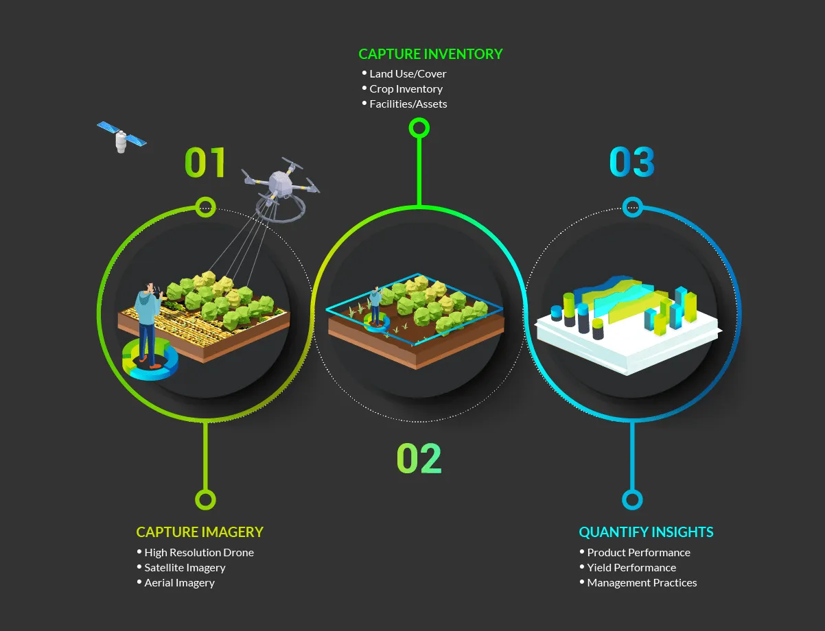
Using the latest, high-resolution drone and satellite technology, our
process begins by capturing the most detailed imagery of your Ag
operation, and we build missing GIS maps to create a digital inventory
that includes all of your facilities, assets, and crops.
We combine this data, creating quantifiable insights that help you
improve your management practices and overall product performance.
Our services come with the backend support and infrastructure to
scale, monitor and maintain your data, no matter the size of your
operation. There's no need for you to do any extra work, hire or train
new staff.